TOPOGEOS SURVEY
TopoGeos field software
TopoGeos Survey represents a solution for mid-range surveying, designed for the Android platform.
Thanks to the Android operating system, it has been possible to create a fast and intuitive graphical interface that allows surveyors to save time and make tasks more manageable.
Topogeos Survey supports multiple languages and customizes its interface based on the current device’s language settings.

TOTAL STATION
TopoGeos Survey has been designed to support mixed survey workflows, allowing the seamless integration of GNSS receivers, mechanical total stations, and automatic total stations within a single project.
The software is fully compatible with TopoGeos total stations, both mechanical and automatic, and enables surveyors to manage GPS points, classical station setups, and measurements simultaneously.
Total stations can be positioned on previously recorded GNSS points or on unknown coordinates calculated through the Free Stationing feature.
The GNSS reference system can be aligned to match an existing polar survey in local coordinates, ensuring full compatibility with traditional workflows.
For automatic total stations, TopoGeOS Survey includes prism search and tracking functionalities.
It also supports Bluetooth communication, including long-range connections for maximum field flexibility.
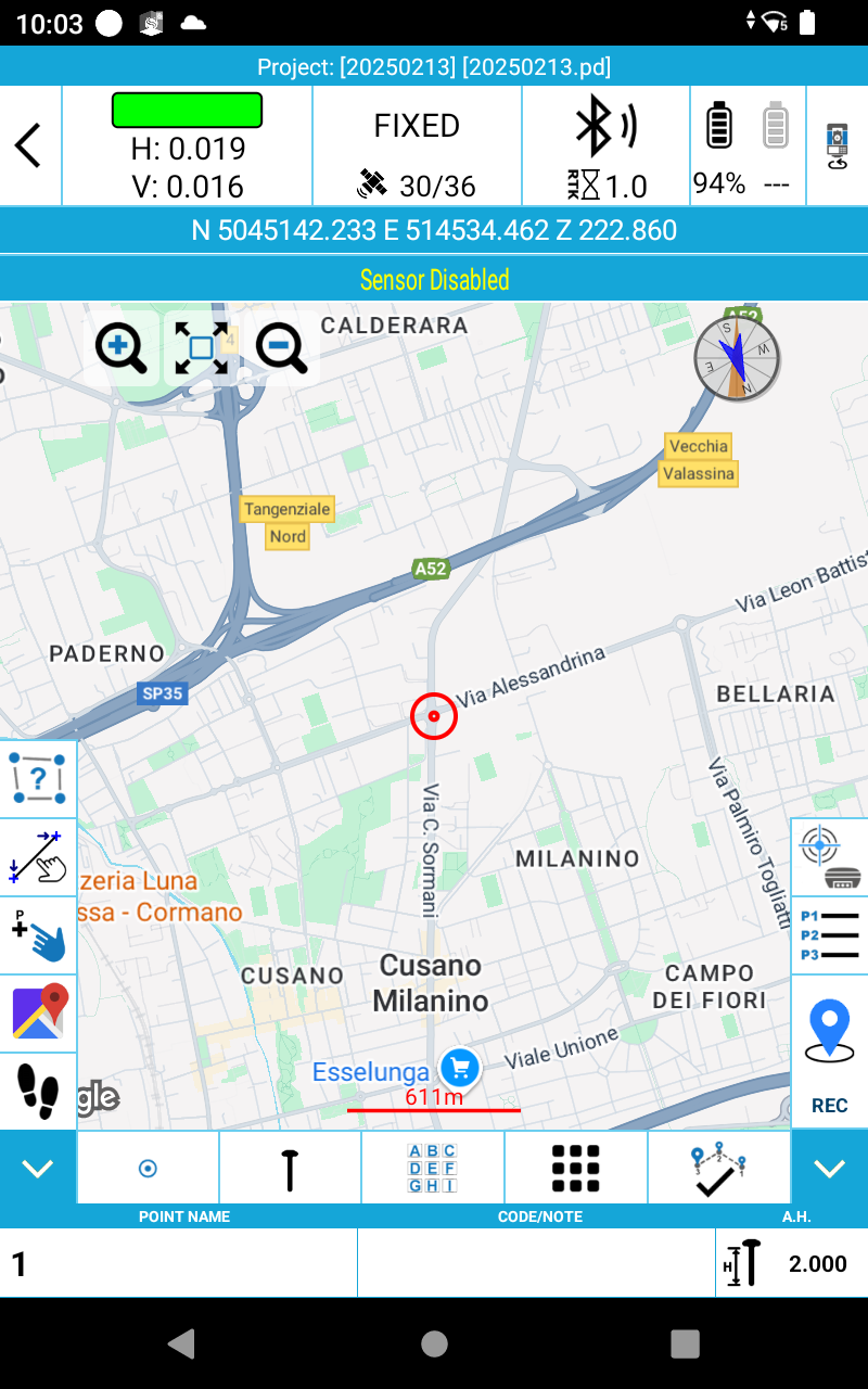
GPS
TopoGeos Survey is compatible with both current GNSS systems and future Topogeos GNSS systems. It supports Rover, Rover Stop&Go, Base and Static modes ultiple screens offer valuable information about the GNSS receiver’s status, including the position, the Sky Plot, SNR levels and the base position.